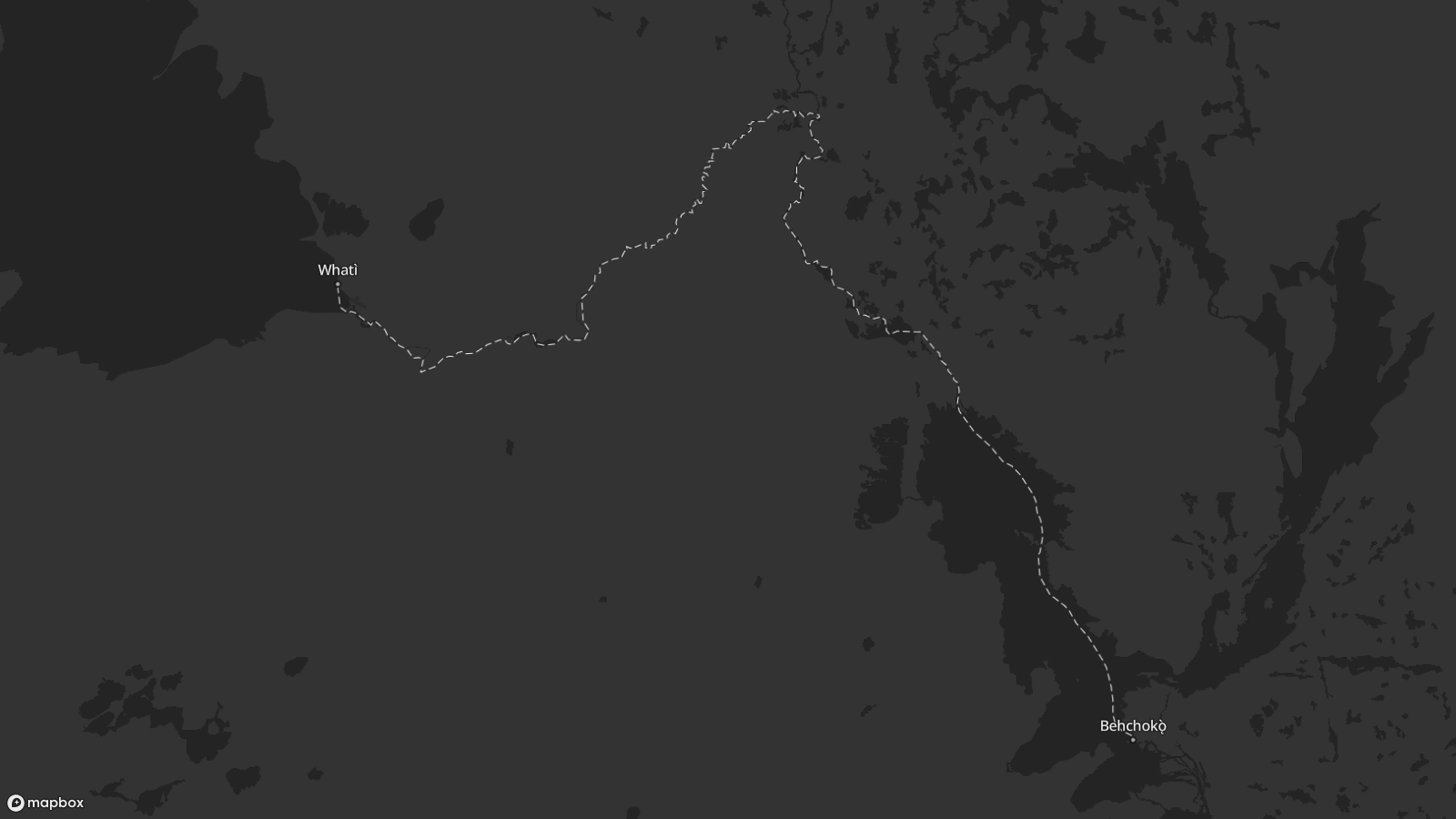
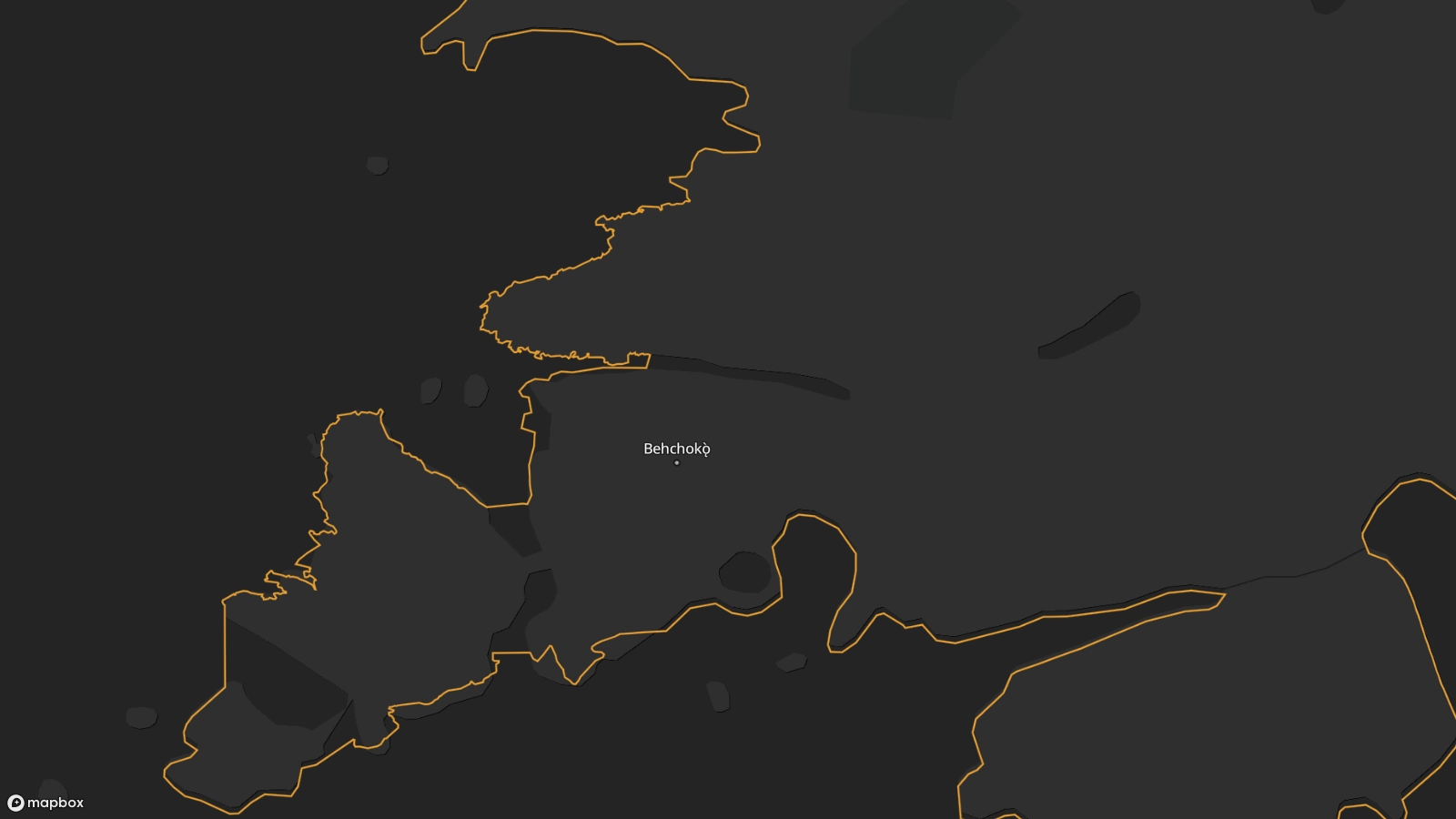
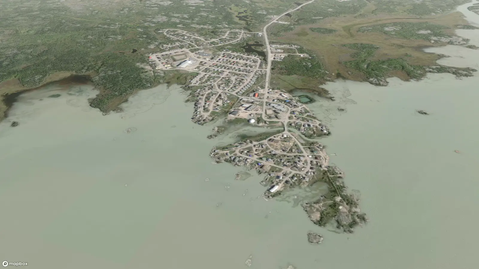
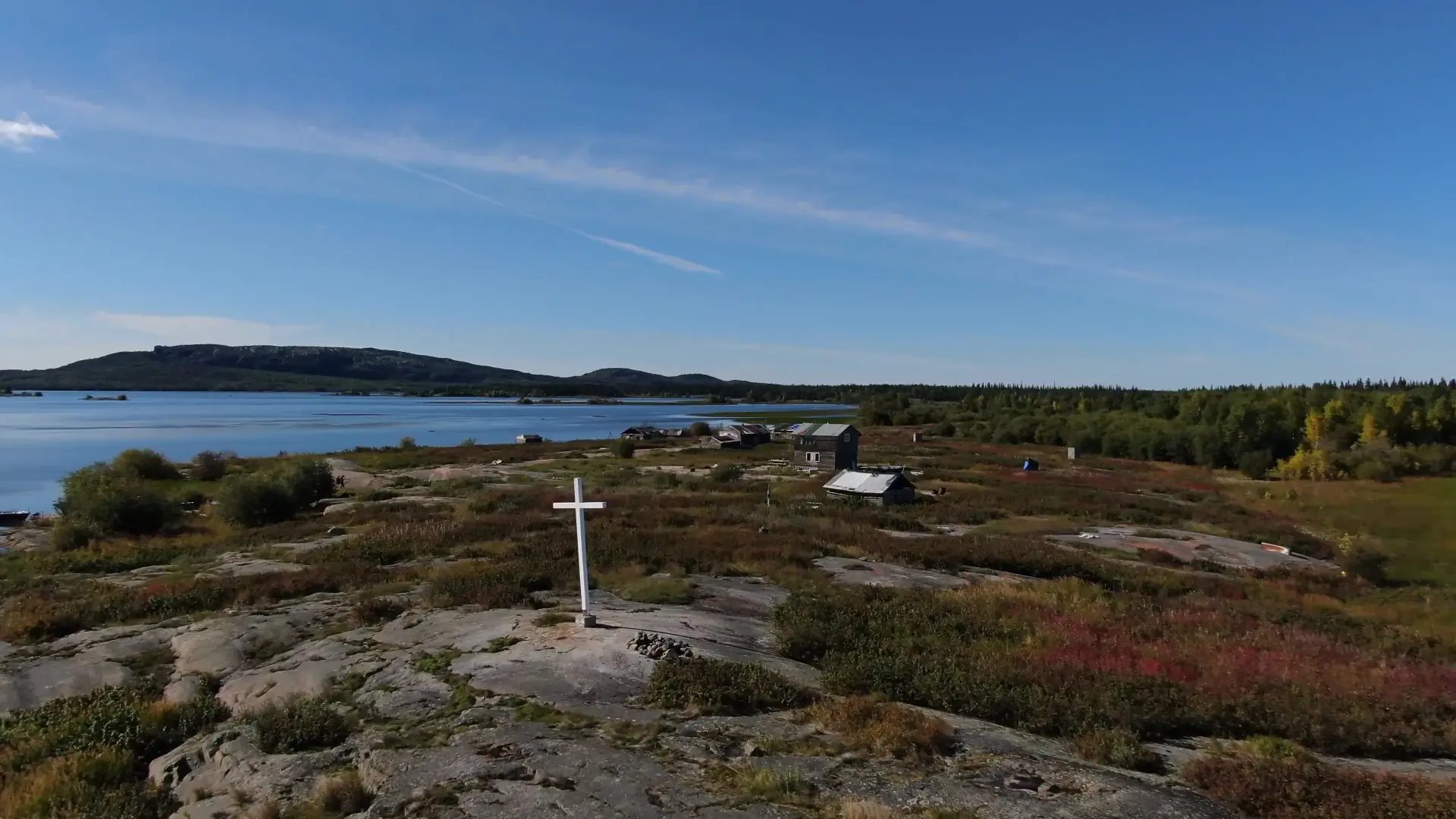
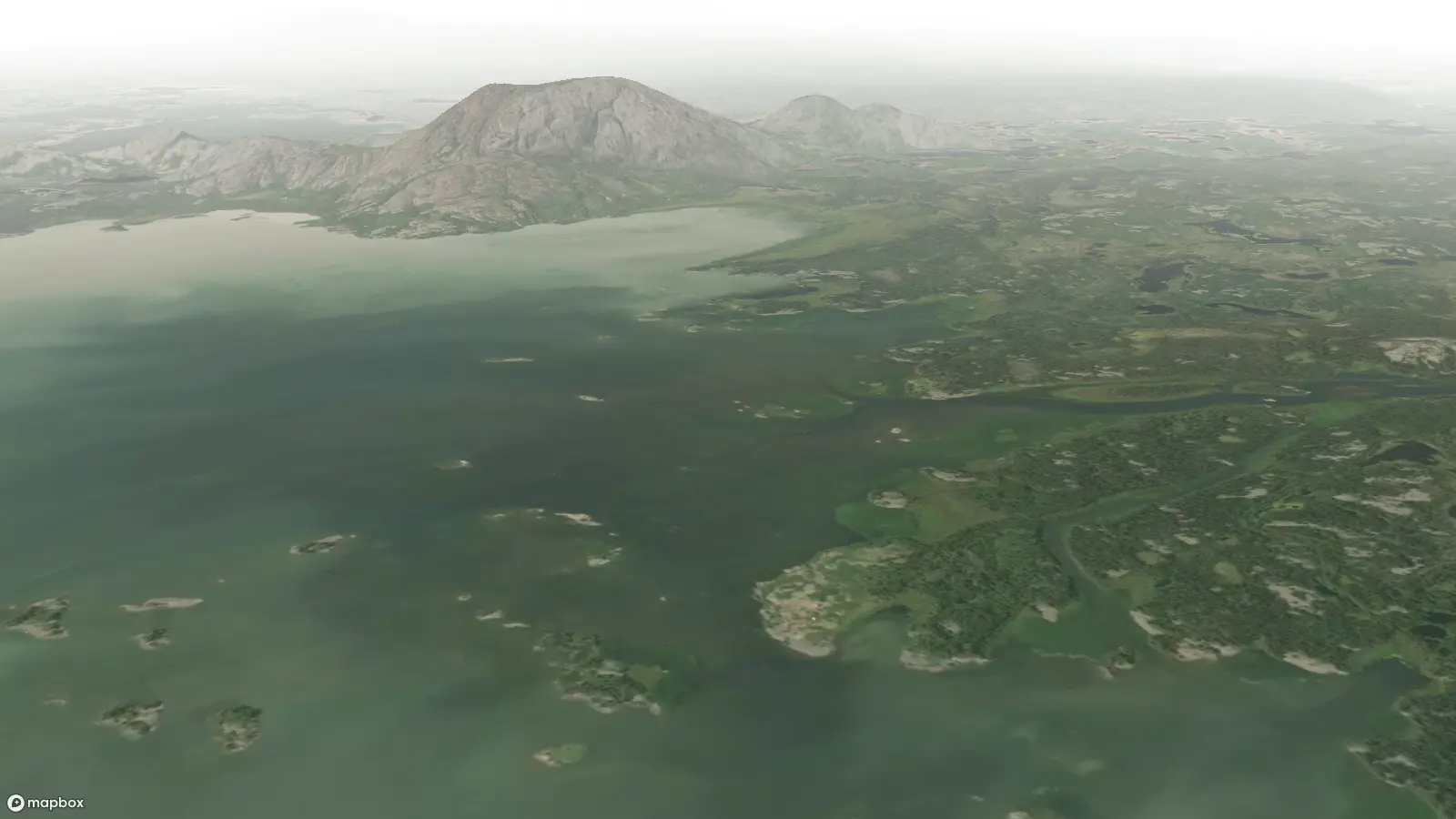
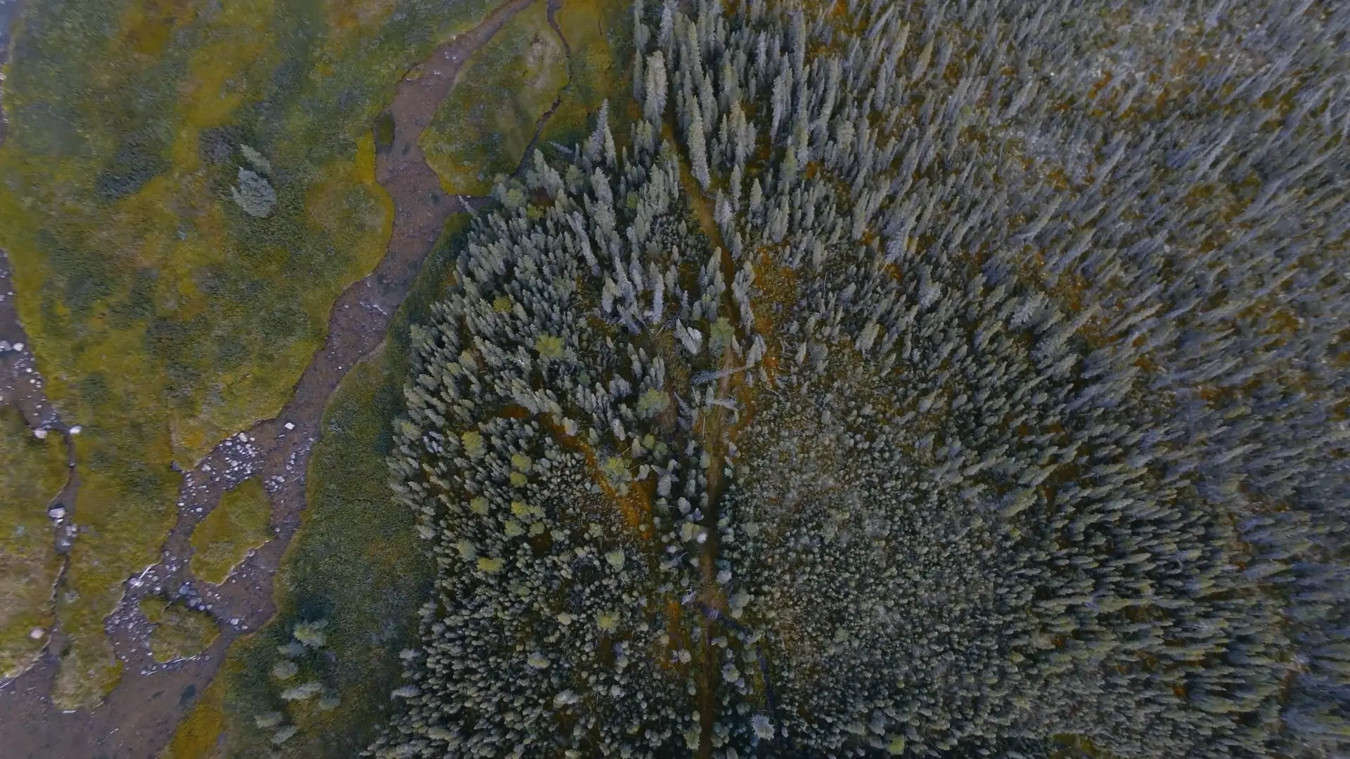
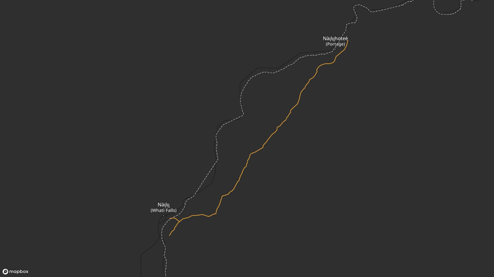
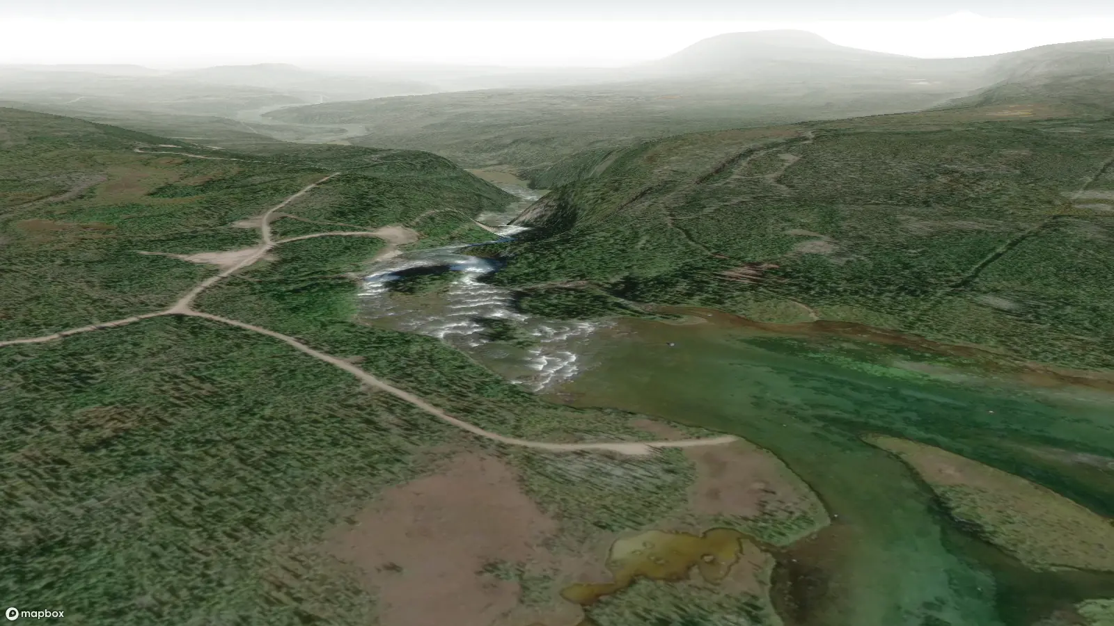
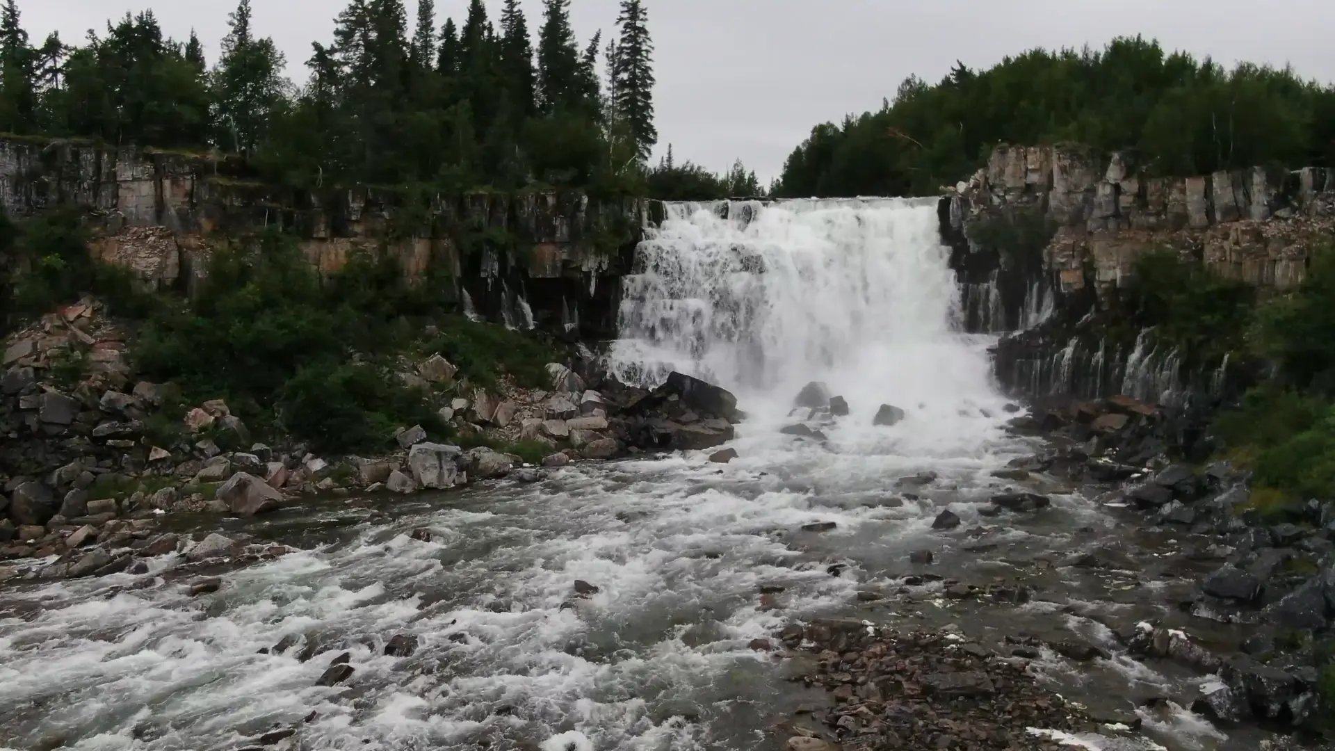
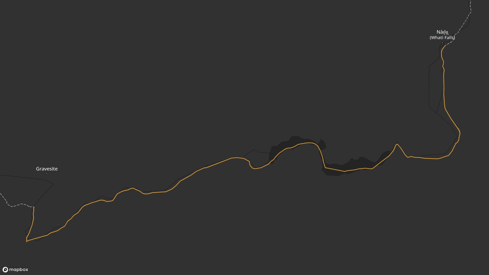
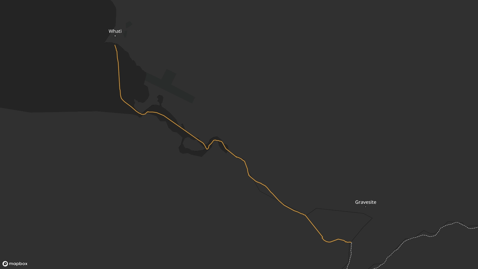
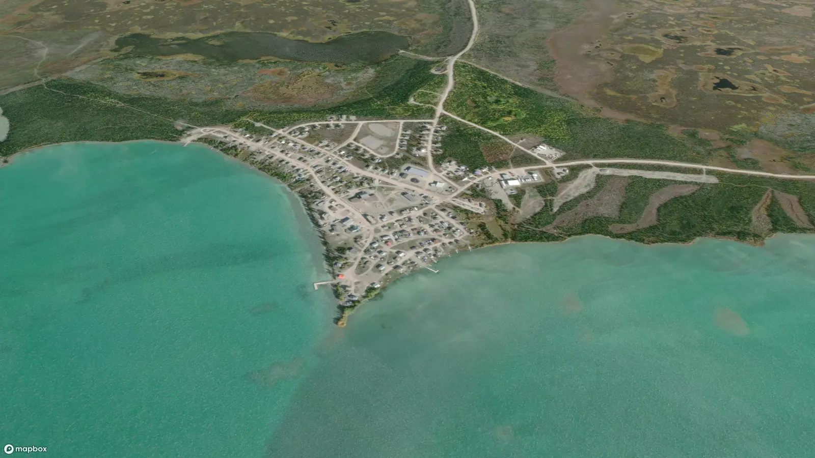
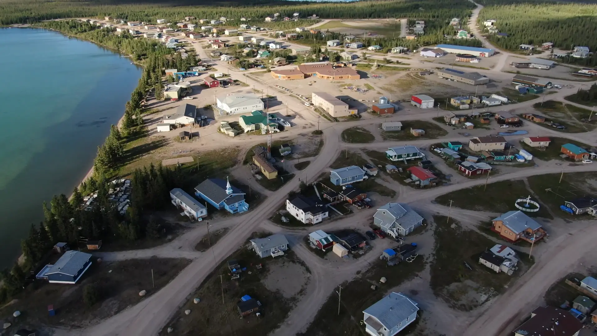
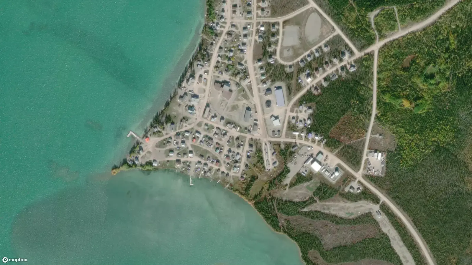
We offer a more accessible version of this page content in the light version.
A dog on the shore watches a boy paddle a canoe into the community of Behchokǫ̀.
Grainy 1960s footage of a summer’s day in the Tłı̨chǫ community of Behchokǫ̀. A man carries a canoe on his shoulders. A dog on the shore watches a boy paddle a canoe. A small group of people swim and jump from rocks into the lake.

Whatì Trail

Scroll Down

A map showing the Whatì trail linking Behchokǫ̀ and Whatì in the Northwest Territories.A map showing the Whatì trail linking Behchokǫ̀ and Whatì in the Northwest Territories.

The Whatì trail is part of the larger Įdaà Trail, which links Great Slave and Great Bear Lake.

A map showing the shoreline near the Tłı̨chǫ community of Behchokǫ̀.A map showing the shoreline near the Tłı̨chǫ community of Behchokǫ̀.

The trail is a central route that intersects with countless secondary trails and provides access to over 250,000 square kilometres of hunting grounds.

A satellite image of the Tłı̨chǫ community of Behchokǫ̀.A satellite image of the Tłı̨chǫ community of Behchokǫ̀.

The Whatı̀ Trail begins in Behchokǫ̀. It can take up to eight days to travel the 120 km from Behchokǫ̀ to Whatì by canoe.

Behchokǫ̀

Travelling through thousands of years of history

Behchokǫ̀ means "Big Knife" in the Tłı̨chǫ language. With a population of about 1,900, it is the largest settlement in the region, the Tłı̨chǫ capital and seat of the Tłı̨chǫ Government.

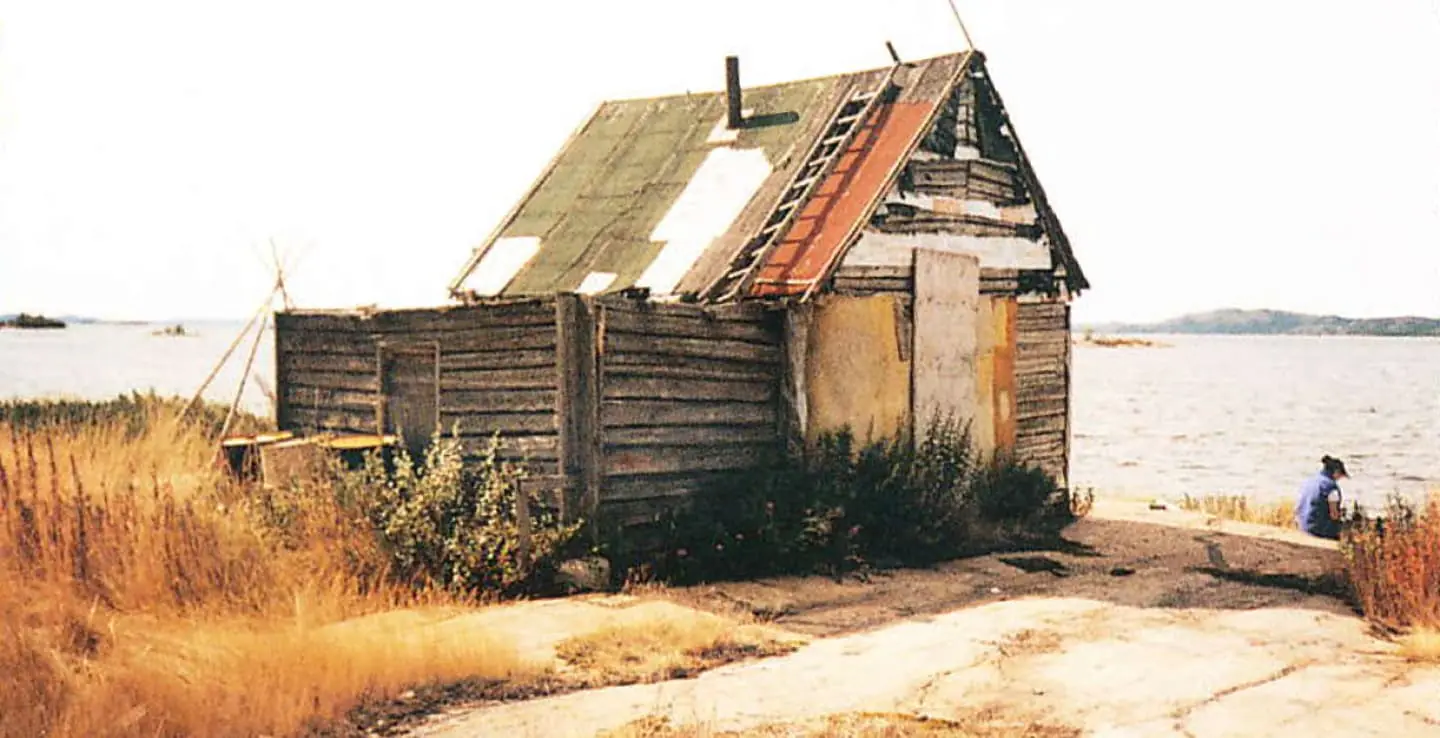
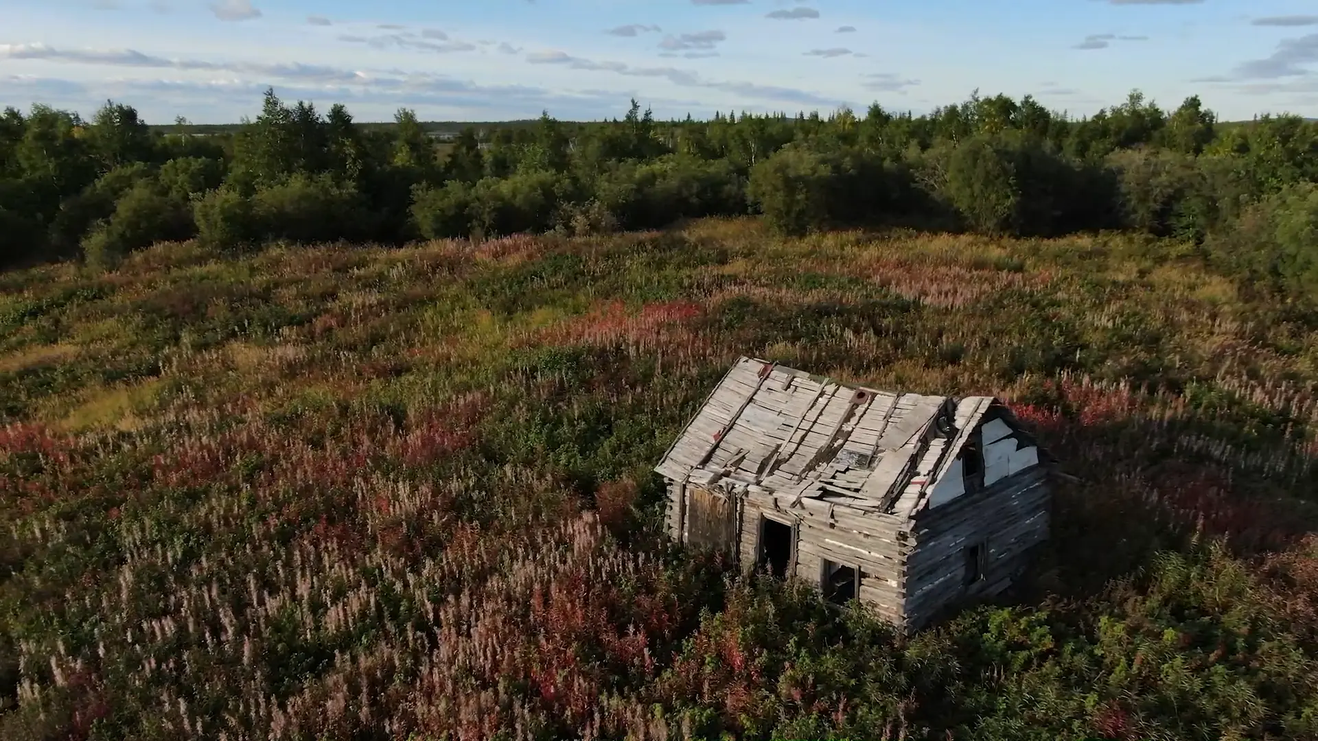
Behchokǫ̀ has a long history as a gathering place. In the days of the fur trade it was an outpost of the Hudson's Bay Company, known as Fort Rae. Hunters and their families would make the long journey from the outlying communities to visit the regions only trading post.

Here they exchanged the bounty of their annual hunt for supplies needed for the next season. Pelts of beaver and marten were traded for tea, sugar, tools and ammunition. It was a time for celebration and an opportunity to reconnect with the larger community before returning to their individual hunting routes.

Today Behchokǫ̀ is a vibrant community that regularly hosts events, meetings, hand game tournaments and other festivities that draw in travellers from across the territory.

Trails of Our Ancestors canoes departing from Behchokǫ̀ in 2011 on their way to the 11th Tłįchǫ Annual Gathering.
The video shown above is not viewable without JavaScript enabled. If you would like to view the video at a later time, you can view the video here.
Transcript

Trails of Our Ancestors 2011

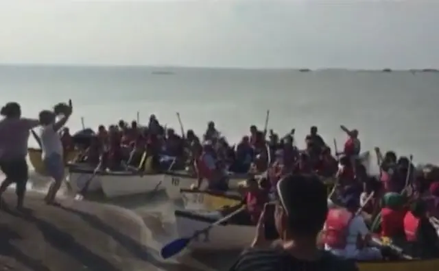
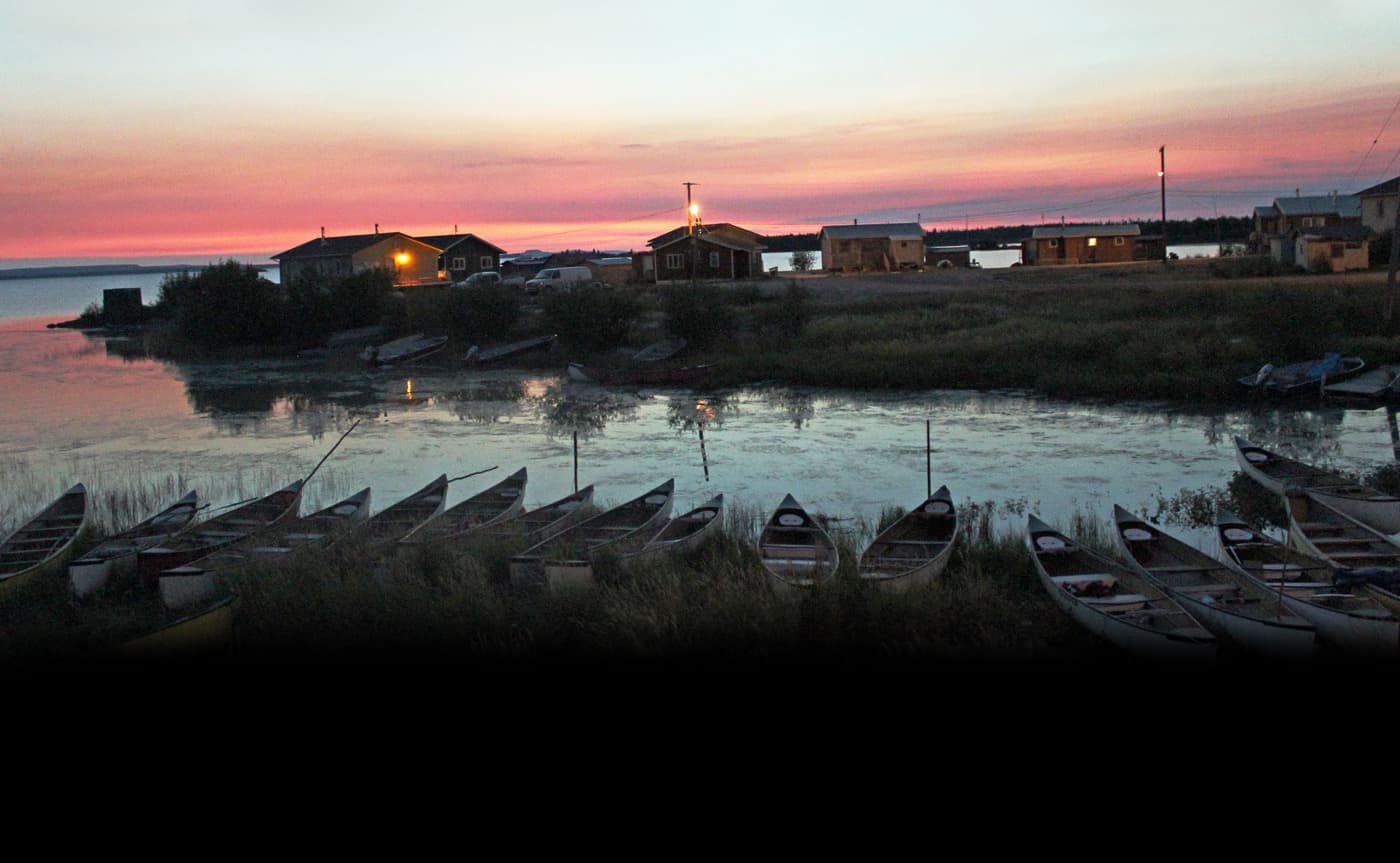
[A crowd of people cheer and take photographs as fully loaded canoes depart from the shores of Behchokǫ̀ at the start of the Trails of Our Ancestors annual canoe trip.]

Trails of Our Ancestors canoes departing from Behchokǫ̀ in 2011 on their way to the 11th Tłįchǫ Annual Gathering.

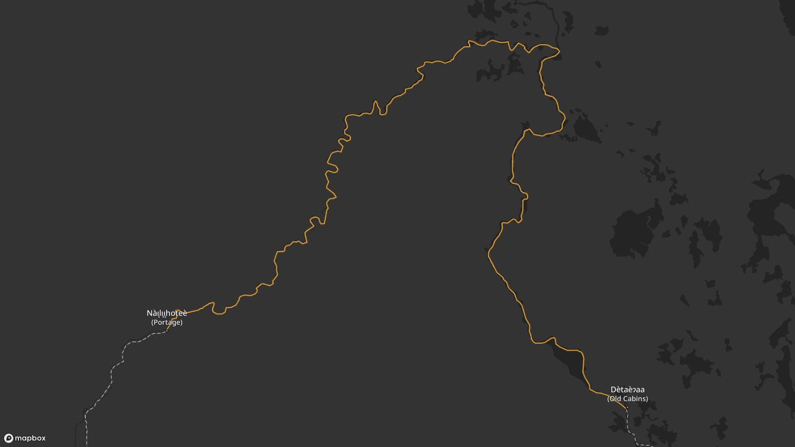
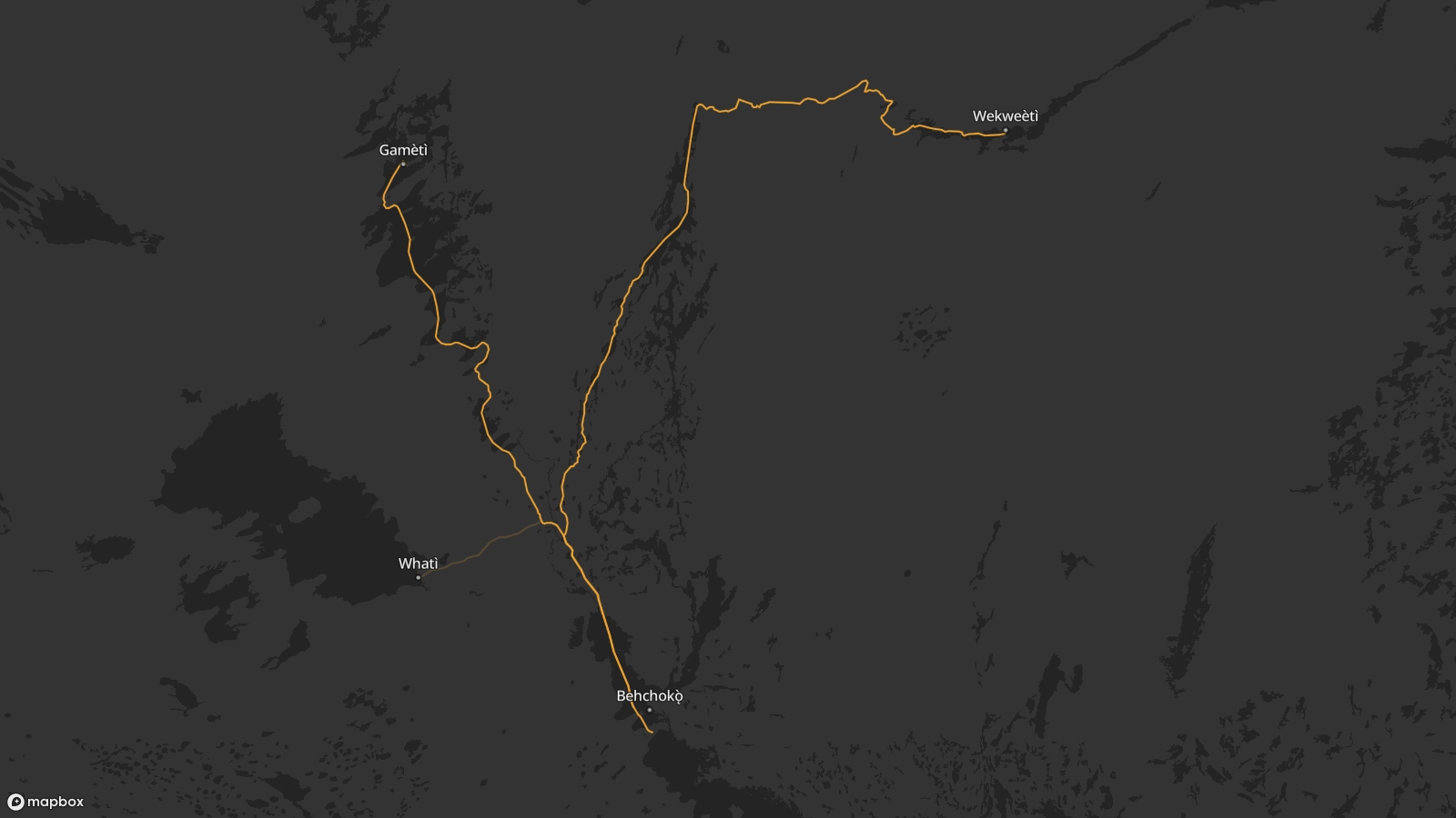
In 1994, the Trails of Our Ancestors program was initiated to pass on this ancestral knowledge and traditional practices. The first group paddled the 15-day journey from Behchokǫ̀ to Gamèti and arrived to a huge celebration as the festivities of the Tłı̨chǫ Annual Assembly got underway.

The program allows Tłı̨chǫ youth to retrace the paths and experiences of these trails through the eyes of our Elders. The boat trips have always been considered to be part of a vision by the Dogrib people to become “Strong like two people.”

“Like an armada, the incoming flotilla of canoes from the ‘Trails of Our Ancestors’ is a vision of pride for the Tłı̨chǫ, almost like an apparition of the Ancestors themselves. With many anxious to take their turn, the canoe trips are like a rite of passage for every Tłı̨chǫ citizen, and revitalizes everyone concerned.”

John B. Zoe
Jonas Nitsiza talks about the power of our ancestors knowledge.
The video shown above is not viewable without JavaScript enabled. If you would like to view the video at a later time, you can view the video here.
Transcript

The Power of Our Ancestors Knowledge

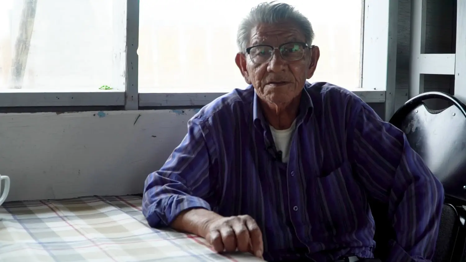
[A video interview with Tłı̨chǫ elder Jonas Nitsiza sitting at a table, with a bright window behind him. He is an elderly man with short white hair, wearing dark rimmed glasses and a blue striped button up shirt.]

Jonas Nitsiza: Now I’m going to tell you the story. The story I’m telling is the story to all of the people. I was born and raised here since I was young. I have been with Elders, by boat and went with them on a hunting trip. I participated with these Elders, I have always been involved with where they gathered and watched how they talked and shared their knowledge. I worked with them since I was capable of working with them.

Our ancestor’s knowledge is very powerful, very strong. I held onto Elders’ stories and kept holding onto their knowledge so if I’m asked to share if I can. There’s so much of their knowledge that I’m holding. I don’t want to let go of it.

Today they say there’s so much change from us, we hear about it. We cannot let go of our ancestor’s knowledge. If we let it go, we will not know where to go, we will have no direction. I don’t want that to happen, so I tell these Elders’ stories to the Youth. This story is to last with us, we are supposed to seek it out and to listen. Now it has reversed, this cannot happen.

As of today, those who hear me should try to do what they can about our ancestors’ knowledge. If a person wants to know or learn about our ancestors’ knowledge they have to visit the Elders and ask them. They will not say, “No!”, they will be happy. We can survive and strive forward. As people, we hope to not lose our stories of our ancestors. When we look at it, it looks like our land is empty and alone. I hope it doesn’t happen. Whoever has heard me should follow how I took our ancestors' stories and kept them. I thank those who have listened. This is what I had to say.

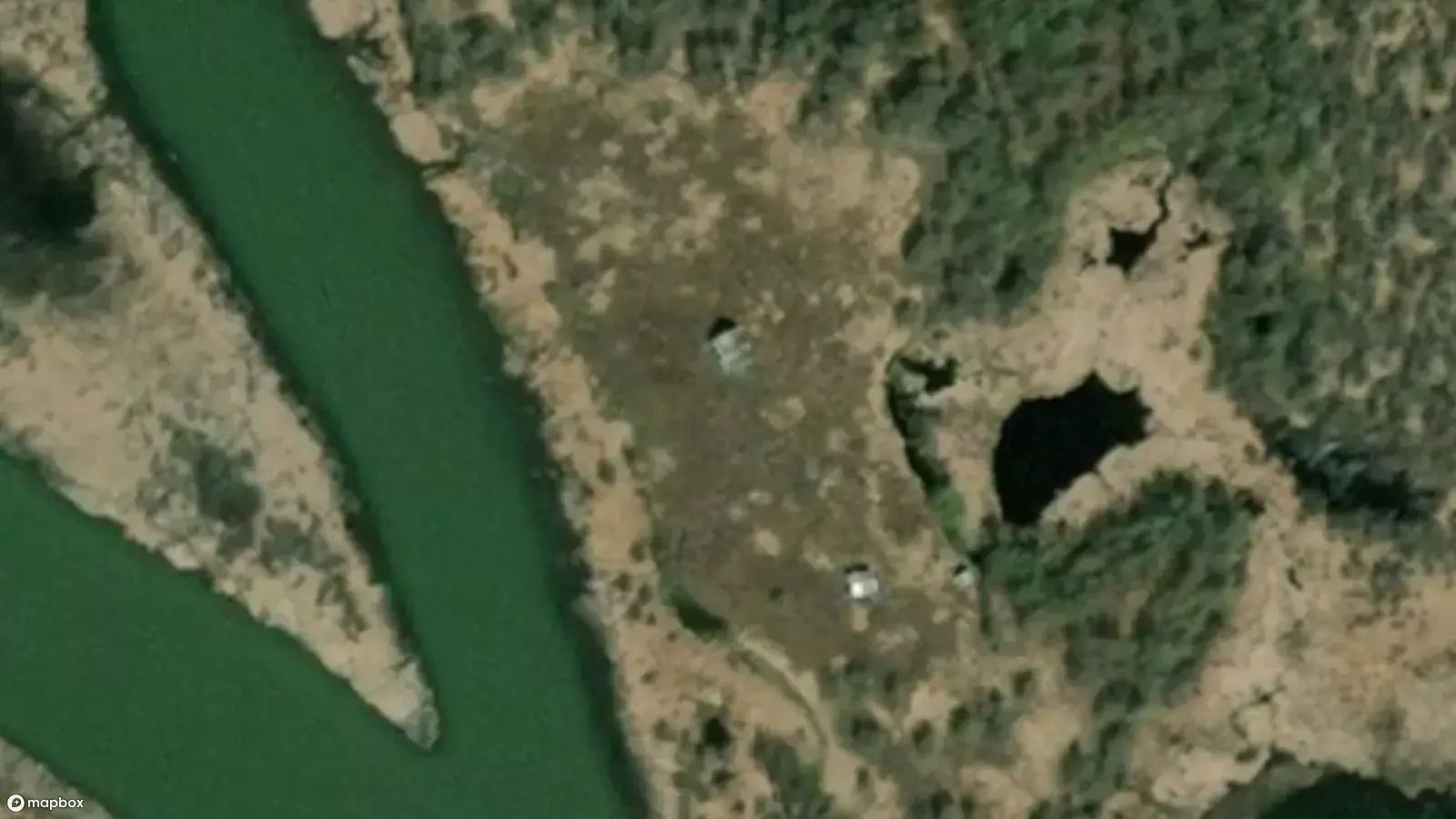
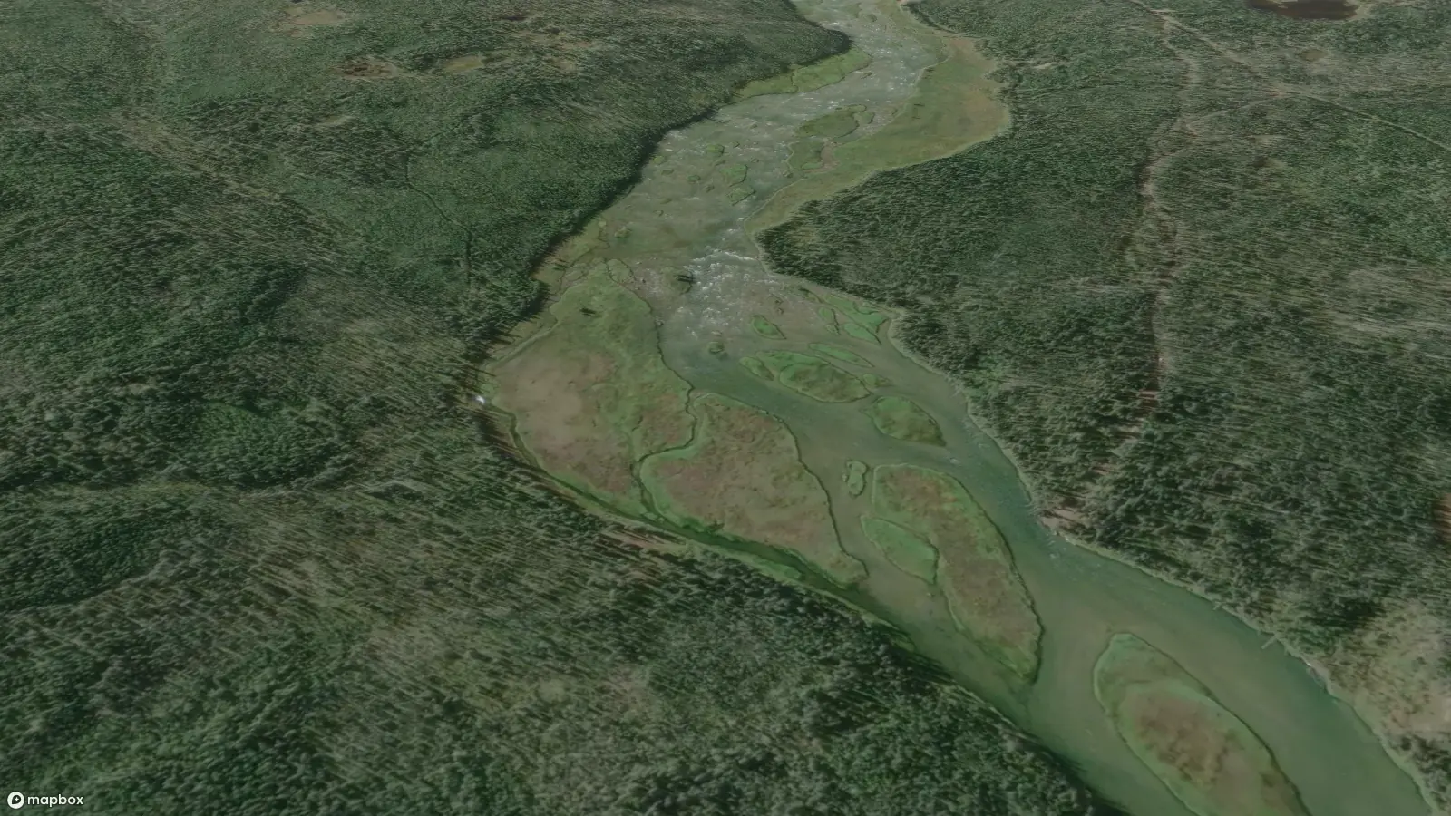
The Tłı̨chǫ landscape is known intimately to Tłı̨chǫ Elders. Names and narratives convey sacred knowledge, and in this way Tłı̨chǫ culture is tied directly to the landscape. The main focus on these trips is for the Elders’ to share their stories at these significant places.

To preserve this knowledge the Trails of Our Ancestors program focuses on sharing the Elders’ stories at these locations and passing down Tłı̨chǫ culture to a new generation.

A satellite image of the Tłı̨chǫ community of Behchokǫ̀.A satellite image of the Tłı̨chǫ community of Behchokǫ̀.

Behchokǫ̀ is the start of the Whatì Trail and all boats depart from Monfwhi eda (Monfwi’s point).

Select an icon to view more about a location.

Additional Content

A map showing the Whatì trail across Marian Lake linking Behchokǫ̀ to Xaelı K'ogola (Marian Village).A map showing the Whatì trail across Marian Lake linking Behchokǫ̀ to Xaelı K'ogola (Marian Village).

The first stop is Xaelı K'ogola (Marian Village), approximately 30 km away, a full day’s paddle from Behchokǫ̀.

A satellite view of Xaelı K'ogola (Marian Village).A satellite view of Xaelı K'ogola (Marian Village).

The village is located at the mouth of the Xaelı (Marian River). Xaelı means Out-It-Flows in Tłı̨chǫ.

An aerial view of Xaelı K'ogola (Marian Village). A large white cross is visible in front of a handful of small cabins on a rocky shoreline, with a lake and large mountain visible in the distance.
Drone fly-over footage of the small Tłı̨chǫ community of Marian Village on the northern shores of Marian Lake in Canada’s Northwest Territories. The community is made up of small cabins. A large white cross is visible on a rocky outcrop.

At Xaelı K'ogola (Marian Village) there is a view of Shiagu, a mountain on Murphy's Point in the distance.

Joe Mantla, one of the Elder advisers for the Trails of Our Ancestors program, was born and raised in Xaelı K'ogola (Marian Village). He built the two-storey cabin that stands prominently in the middle of the village.

Xaelı K'ogola (Marian Village)

A traditional gathering place

Xaelı K'ogola (Marian Village) was a thriving community at one time, where people would gather to celebrate with dances, handgames and handball.

Over time, residents moved to one of the more permanent communities in order to be closer to their children while they attended school.

People still come here on a seasonal basis to fish, hunt and gather plants. The area is known as an excellent harvesting area for muskrat and beaver.

An archival photo of a rundown cabin in Xaelı K'ogola (Marian Village) on the shores of Marian Lake, with boarded up windows, and an old ladder on a patched-up roof.

There are at least 30 gravesites at this location. One of the graves has a plaque labelled Thomas Tami Rabesca (born July 22nd, 1886, died December 9th, 1961).

Many of the graves do not have anything written on them as they were buried a long time ago when people did not know how to read or write.

Satellite view of Xaelı K'ogola (Marian Village), on the shoreline of Marian Lake, with the mountain Shiagu in the background.Satellite view of Xaelı K'ogola (Marian Village), on the shoreline of Marian Lake, with the mountain Shiagu in the background.

Locations and place names are almost always associated with stories which are said to reside with the place.

Elders often use the metaphor that the ‘land is like a book,’ in explaining this relationship, meaning that stories and places co-exist.

Select an icon to view more about a location.

A map showing the Whatì trail from Xaelı K'ogola (Marian Village) to Dètaè?aa, with the trail following the Marian River north, passing through Shotì Lake.A map showing the Whatì trail from Xaelı K'ogola (Marian Village) to Dètaè?aa, with the trail following the Marian River north, passing through Shotì Lake.

After spending the night, the canoes continue 16 km upriver to Dètaè?aa.

A satellite view of cabins and two rivers dividing at Dètaè?aa. The cabins are located in a clearing just off the river bank.A satellite view of cabins and two rivers dividing at Dètaè?aa. The cabins are located in a clearing just off the river bank.

Dètaèɂaa is a traditional hunting and gathering area above Shotì Lake, between two rivers.

An aerial view of an old rundown wooden cabin in a clearing of lupine flowers and tall brush, under a cloudy blue sky just before sunset. The cabin looks as though it is ready to fall apart at any moment.
Drone fly-over footage of an abandoned cabin with a partially collapsed roof found in a clearing of lupine flowers and tall brush, under a cloudy blue sky just before sunset. The cabin looks as though it is ready to fall apart at any moment.

The Dètaèɂaa area has been frequented by travellers for centuries.

Hunters and their families used to gather here on their way to trade furs in Behchokǫ̀.

The surrounding area is marked by many gravesites.

A satellite view of the two rivers dividing at Dètaè?aa. The roofs of two small cabins can be seen in the clearing, just off the river bank.A satellite view of the two rivers dividing at Dètaè?aa. The roofs of two small cabins can be seen in the clearing, just off the river bank.

There are several old cabins nearby, making this a popular spot to camp for the night.

Select an icon to view more about a location.

Additional Content

A map showing the Whatì trail from Dètaè?aa to Nàı̨lı̨ı̨hoteè. The trail follows the Marian River north before branching off at the Lac La Martre River, and following south west until reaching Nàı̨lı̨ı̨hoteè.A map showing the Whatì trail from Dètaè?aa to Nàı̨lı̨ı̨hoteè. The trail follows the Marian River north before branching off at the Lac La Martre River, and following south west until reaching Nàı̨lı̨ı̨hoteè.

There are many rapids and portages along the route.

Carrying the heavy canoes and supplies is both difficult and time consuming.

Aerial view of the forest and river landscape at Nàı̨lı̨ı̨hoteè. A wide river carves through dense forest, with visible footpaths leading from the shore up both sides of the river.Aerial view of the forest and river landscape at Nàı̨lı̨ı̨hoteè. A wide river carves through dense forest, with visible footpaths leading from the shore up both sides of the river.

At Nàı̨lı̨ı̨hoteè, the canoes must come ashore to cover the longest portage on the route at the great waterfall of Nàı̨lı̨ı̨ (Whatì Falls).

An aerial view of the forest and river landscape at Nàı̨lı̨ı̨hoteè. A worn footpath is visible leading from the grassy shore of the Lac La Martre River through a dense forest of coniferous trees.
Drone fly-over footage of the six-kilometer-long portage trail called Nàı̨lı̨ı̨hoteè that cuts through the conifer forest near the waterfall of Nàı̨lı̨ı̨.

The most difficult part of the journey is Nàı̨lı̨ı̨hoteè, a portage that climbs five kilometres over the falls. The portage trail is a worn footpath through thick spruce forest cover.

Before the arrival of airplanes, Whatı̀ people would spend weeks at this portage hauling large loads as this was the only way to bring goods and resources into the community.

The canoes used for Trails of Our Ancestors are two hundred pound boats. They are carried upside down on the shoulders of two people.

Under good conditions it takes about three and a half hours to cover the portage in one direction.

Aerial view of the forest and river landscape at Nàı̨lı̨ı̨hoteè. A wide river carves through dense forest, with visible footpaths leading from the shore up both sides of the river.Aerial view of the forest and river landscape at Nàı̨lı̨ı̨hoteè. A wide river carves through dense forest, with visible footpaths leading from the shore up both sides of the river.

Larger groups of travellers used to gather at either end of the portage to rest before the difficult task.

Select an icon to view more about a location.

Additional Content

Map of the portage route Nàı̨lı̨ı̨hoteè to the waterfall of Nàı̨lı̨ı̨ (Whatì Falls). The portage route runs parallel with the La La Martre river, allowing travellers to bypass the waterfall.Map of the portage route Nàı̨lı̨ı̨hoteè to the waterfall of Nàı̨lı̨ı̨ (Whatì Falls). The portage route runs parallel with the La La Martre river, allowing travellers to bypass the waterfall.

Carrying the boats and their cargo over Nàı̨lı̨ı̨hoteè was a community effort.

Satelite view of the Nàı̨lı̨ı̨ (Whatì Falls) area. The wide Lac La Martre river narrows and plunges over a steep drop, with white rapids visible from the air. A utility road is visible on the left shore of the river, and portage footpaths are visible on the right shore of the river.Satelite view of the Nàı̨lı̨ı̨ (Whatì Falls) area. The wide Lac La Martre river narrows and plunges over a steep drop, with white rapids visible from the air. A utility road is visible on the left shore of the river, and portage footpaths are visible on the right shore of the river.

Local youth would eagerly await the sound of the boats, ready to help anyone that needed it.

An aerial view of the Lac La Martre river plunging over one of the two 15 foot drops that make up Nàı̨lı̨ı̨ (Whatì Falls). Smaller streams of water pour out of the rocky walls on each side of the river.
Drone fly-over footage of the Marian River falling over the two mighty waterfalls that make up Nàı̨lı̨ı̨ (Whatì Falls). Mist rises from the frothy white water, with smaller streams of water pouring out of the rocky walls on each side of the river. The river carves a path in an S shape through the landscape beyond the falls.

The steep waterfall of Nàı̨lı̨ı̨ (Whatì Falls) drops 50 metres to the Lac La Martre River.

The falls are a significant sacred site, related to a story where many Tłı̨chǫ enemies met their death.

Today visitors throw offerings into the falls and wait to see if a rainbow is produced in the spray of the water.

Seeing a rainbow is a sign of good luck, while the absence of a rainbow is considered a bad omen.

The wide Lac La Martre river narrows and plunges over a steep drop, with white rapids visible from the air. A utility road is visible on the right shore of the river, and portage footpaths are visible on the left shore of the river.The wide Lac La Martre river narrows and plunges over a steep drop, with white rapids visible from the air. A utility road is visible on the right shore of the river, and portage footpaths are visible on the left shore of the river.

Nàı̨lı̨ı̨ (Whatì Falls) is the last major obstacle on the way to Whatı̀.

Select an icon to view more about a location.

Additional Content

Map view of the Whatì Trail route from Nàı̨lı̨ı̨ (Whatì Falls) in the north east, to an unknown grave along the river in the south west. The river zigs and zags through the landscape.Map view of the Whatì Trail route from Nàı̨lı̨ı̨ (Whatì Falls) in the north east, to an unknown grave along the river in the south west. The river zigs and zags through the landscape.

The remaining journey to Whatì covers 30km and can be made in just one day.

Satellite view of the forest and river near an unknown grave on the Whatì Trail. The grave is surrounded by a dense patch of coniferous trees, next to a shallow jade green river with sandy shores.Satellite view of the forest and river near an unknown grave on the Whatì Trail. The grave is surrounded by a dense patch of coniferous trees, next to a shallow jade green river with sandy shores.

Along the way, there are many reminders of the ancestors that travelled the route before us.

Three sunbleached, weathered fences known as cribs mark the location of three graves. They are located in clearing of dense brush, surrounded by tall, bare coniferous trees.
Drone fly-over footage of a Tłı̨chǫ gravesite. Three sunbleached, weathered fences known as cribs mark the location of three graves. They are located in clearing of dense brush, surrounded by tall, bare coniferous trees. The cribs are barely visible until the camera gets closer.

Tłı̨chǫ hunters and their families would follow the caribou herds in an annual cycle, using the river to travel.

When someone died they were buried on the spot and the hunters continued to move on.

Up until the 1960s, burials could happen anywhere and the landscape is dotted with gravesites, most of which are marked with white fences.

The practice of surrounding a burial site with a white picket fence originates with the appearance of Christian missionaries in the mid-1800s. Fences were seen as a way to contain the spirit of the recently deceased, as it was believed that they may linger at the site for days to weeks.

When located at trail junctions, graves can serve as a message post. In most instances, a tobacco tin is left in a nearby tree, inside will be messages and gifts for whoever arrives next.

An old photo of man in a brown plaid shirt and grey cap kneeling to repair the white picket fence around the grave.
Jimmy Moosenose repairing the fence around a grave, 1958. (Photo: Joan Ryan)

The tradition when gravesites are encountered by travellers, is to clear overgrown or fallen vegetation, mend any broken fences, and a prayer is offered to the deceased as well as a small gift. Tobacco is most commonly left for Elders.

After the 1960s, government legislation introduced new controls on where graves could be established, limiting burials to only cemeteries that were under the control of municipal authorities.

Satellite view of the forest and river near an unknown grave on the Whatì Trail. The grave is surrounded by a dense patch of coniferous trees, next to a shallow jade green river with sandy shores.Satellite view of the forest and river near an unknown grave on the Whatì Trail. The grave is surrounded by a dense patch of coniferous trees, next to a shallow jade green river with sandy shores.

Not all gravesites are marked.

Select an icon to view more about a location.

Additional Content

A map view of the Whatì Trail from the unknown gravesite to the final destination of Whatì. The trail follows the path of the Lac La Martre river until it reaches Lac La Martre, before following the coast of the lake north until reaching Whatì. The Whatì airfield is visible from the map.A map view of the Whatì Trail from the unknown gravesite to the final destination of Whatì. The trail follows the path of the Lac La Martre river until it reaches Lac La Martre, before following the coast of the lake north until reaching Whatì. The Whatì airfield is visible from the map.

For every white cross, there are many other final resting places that have been forgotten over time.

Satellite view of the community of Whatì on the shores of Lac La Martre. Dirt roads criss cross between colorful buildings that dot the town.Satellite view of the community of Whatì on the shores of Lac La Martre. Dirt roads criss cross between colorful buildings that dot the town.

We have arrived at the end of our journey: Whatı̀.

Aerial view of the community of Whatì showing dirt roads connecting houses and community buildings. The edge of the lake is visible on the left, lined with trees.
Drone fly-over footage of the clear blue waters of Lac La Martre and the Tłı̨chǫ community of Whatì. Dirt roads connect houses and community buildings in this small town with a population around 500. The colorful buildings dot the town with no particular layout.

Whatı̀ sits on the southeast shores of Lac La Martre.

The word Whatı̀ in Tłı̨chǫ Yatıì means ‘marten lakes’ named after the abundance of marten in the region.

Whatı̀

The end of the trail

Located 210 km northwest of the of Yellowknife, Whatı̀ has a population of roughly 500 people. Many in the community still practice the traditional Tłı̨chǫ lifestyle; hunting, fishing and practicing decorative arts.

The Tłı̨chǫ language is still widely spoken among the residents. Up until recently, Whatı̀ was only accessible by boat or air in the summer months, and by ice road for a short time in the winter.

In 2021 the Tłı̨chǫ Highway opened, making this small community accessible by road all year. The area is known for its scenic beauty, and excellent trapping and fishing.

The pre-contact history of Whatı̀ is one of conflict between the Tłı̨chǫ and the Chipweyan. When the North West Company established a trading post in the area, many residents began settling there permanently to hunt and fish in the area year round.

Satellite view of the community of Whatì on the shores of Lac La Martre. The jade green Lac La Martre is visible on the left, with the town built up around a natural point that edges out into the water.Satellite view of the community of Whatì on the shores of Lac La Martre. The jade green Lac La Martre is visible on the left, with the town built up around a natural point that edges out into the water.

Whatı̀ marks the beginning and end of the Whatı̀ trail that connects the community to that of Behchokǫ̀.

Select an icon to view more about a location.

Additional Content

  • 360º Video: Whatì Drum Dance

    A 360-panoramic video of a Whatì Drum Dance during the Tłı̨chǫ Annual Gathering. The Drum Dance is a social activity to celebrate formal gatherings.

  • 360º Video: Whatì Handgames

    A 360-panoramic video from the middle of a Whatì handgame. Handgame rules and strategy are sacred and are not shared outside the Tłı̨chǫ.

  • 360º Video: Whatì Church

    A 360-panoramic video of the church in the Tłı̨chǫ community of Whati. The Roman Catholic church is located near the center of town and features a small graveyard.

  • 360º Video: Smoking Fish

    A 360-panoramic video from inside a Tłı̨chǫ fish smoke house. Whatì is known for great fishing and is a popular activity that brings tourism to the area.

  • Video: How I Got My Name

    Mike Nitsiza, a Tłı̨chǫ Elder, discussing the origins of his family name. (Transcript available.)

Map view showing the ancestral trails connecting the Tłı̨chǫ communities of Behchokǫ̀, Gamèti, and Wekweètì.Map view showing the ancestral trails connecting the Tłı̨chǫ communities of Behchokǫ̀, Gamèti, and Wekweètì.

Continue exploring the Trails of Our Ancestors.